

Tropical Storm Beryl formed late Friday with maximum sustained winds of 50 mph, one of only a few storms in history that have formed over the central or eastern tropical Atlantic this early in the year, according to the latest advisory from the National Hurricane Center. Beryl is the second named storm of the 2024 Atlantic hurricane season.
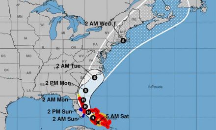
According to the NHC’s 5 a.m. update, the center of Tropical Storm Beryl was located 775 miles east-southeast of Barbados and moving west at 21 mph. A relatively quick westward to west-northwestward motion is expected during the next few days.
Tropical-storm-force winds extend outward up to 45 miles from the center. On the forecast track, the system is expected to move across the Windward Islands late Sunday night and Monday. Beryl is expected to strengthen and be a hurricane when it reaches the Windward Islands, bringing a risk of heavy rainfall, hurricane-force winds, and dangerous storm surge and waves. Swells generated by the system are likely to cause life-threatening surf and rip current conditions.
The system had 50 mph winds early Saturday, the National Hurricane Center reported, and was located about 975 miles east-southeast of Barbados. Hurricane or tropical storm watches could be posted for parts of the Lesser Antilles Friday night or early Saturday, according to the National Hurricane Center.
It’s rare for tropical systems to form and track east of the Lesser Antilles in June. That this formed so early in the season – and in this part of the Atlantic – is a sign of the hyperactive hurricane season to come, according to research from Phil Klotzbach, a hurricane expert and research scientist at Colorado State University.
Normally, ocean temperatures aren’t warm enough in this region in June and July to help tropical systems thrive. That’s hardly the case this year, and one of the reasons behind record-high hurricane season forecasts over the past few months. Ocean temperatures remain close to the off-the-charts highs being set this time last year in the area where the storm is tracking through and are currently at levels more commonly found in August and September.
Two other tropical waves in the Atlantic basin, including Invest 94L in the Caribbean, currently have medium chances for development, according to the Hurricane Center.


